Saturday 31 October 2009

South Georgia!

It's been far too long since I've had a look at the fantastic South Georgia webcams... It's looking pretty cold and miserable there today, but there are plenty of seals about! Prize for the first SHS person to spot a penguin and send me a copy of the image with the date and time....


For those of you who've not yet seen the South Georgia webcams (why not?!), click on the South Georgia tag at the bottom of this post to find out more...

Happy Halloween

Celebrate Halloween by turning Google Earth into a giant pumpkin.... Click here to go to the GE Blog, and download the .kmz file from the link in the first paragraph. Thanks to Kenny O'Donnell for the tipoff.


This is also fun, though not especially geographical...

Wednesday 21 October 2009

8BL - Earth as Art challenge...

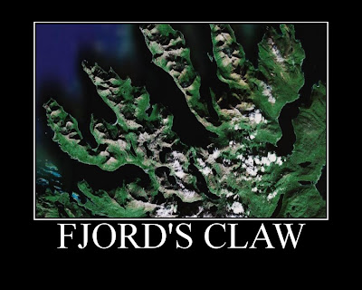
Good morning 8BL! Your challenge for today is to use Google Earth to produce a fantastic piece of art work... Below are two of my favourite examples from last year's Year 8 groups, and you can see some of the others by clicking here.
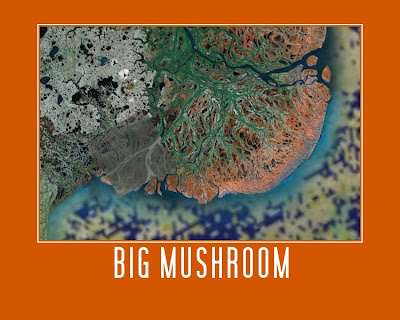


To make your own...
1. Open Google Earth (Start, Swanwick Hall, Humanities, Google Earth).
2. Spend some time exploring, and find yourself a beautiful view.
3. Open a new Ppt presentation.
4. Back in Google Earth, make sure you are happy with your view (do you want to zoom in or out, or tilt it?), then take a screenshot (hold down Ctrl + press PrtScn).
5. Paste your screenshot into your Ppt slide.
6. Crop your screenshot until you are happy with it.
7. Right-click on your picture, and select "Save as picture..." Give your picture a sensible name, and save it in your user area (preferably in a Geography folder!). Check that the filetype (in the dropdown box below where you type the filename) is .png or .jpg.
8. Go to the Big Huge Labs website. Upload your picture, and then experiment with colours, etc. and give your work a caption.
9. When you are completely happy with it, click Create. Once your finished poster appears, you can either go back and edit it, or click Save. Save the file to your computer, giving it a filename that includes your name.
10. Open your school emails. Type vel into the address bar, and then attach your finished work (not the screenshot from your ppt). Send!

I am expecting two brilliant pieces of work from each pair, and we will have a look at everyone's work on Friday morning. Have fun!

Monday 12 October 2009

Blog Action Day - Climate Change Conference

Today is Blog Action Day - where bloggers across the world blog about the same big issue... This year, it is climate change... So a good time to write about the Oxfam Climate Change Conference that I went to on Monday with two Yr11 and two Yr12 geographers.

Oxfam are running a series of conferences for young people in the run up to the Climate Summit in Copenhagen in December, and we were lucky enough to get places at the Birmingham Conference.

After an introduction to some of the impacts of climate change on communities in Malawi from Elvis (yes, really), the day was spent taking part in various workshops - looking at how to take action and plan events in the community, understanding some of the politics of climate change, and putting together a message for Gordon Brown to take to Copenhagen.

We all had an excellent day, and the girls came back with lots of ideas about "blue days", mini-Oxjam events and an eco-fest... Watch this space for more!

This is the fantastic collage that the girls put together to take to the conference (which was most definitely the best piece of work in the exhibition!):


And the "photo shoot" for the Derby Telegraph and Ripley & Heanor News...

Saturday 3 October 2009

People Powered Maps...

Most of you will, by now, have seen the fantastic Worldmapper maps, put together by a team of geographers from Sheffield University. (If you haven't, you should go and have a look now... And even if you have, go and have another look, as there are now almost 700 maps available.)

However, Professor Danny Dorling has been busy producing a new set of cartograms showing population density for various different countries. This is the UK one, and you can find out more about the project and look at some of the other maps in this BBC article, or view the full set of maps on the Worldmapper website:

Indonesian earthquake and Samoan tsunami

Lots of you have come into lessons over the past couple of days talking about the tsunami that struck Samoa and American Samoa and the series of earthquakes around the island of Sumatra in Indonesia.

The events are still in the news, with international relief teams being flown in to help in the rescue and clean-up efforts.

The BBC has lots of information, images and video clips about both - with In Pictures series here for the tsunami and here for the earthquakes.

We picked up all the activity on our seismometer - I haven't managed to get screenshots of the seismographs yet, but when I do, I'll post them on the Swanwick Seismology blog here.

Friday 2 October 2009